🔥 Current Fire Conditions Track active fires, smoke impacts, wildfires near the Boundary Waters and North Shore updates during the 2026 fire season. Latest Updates >
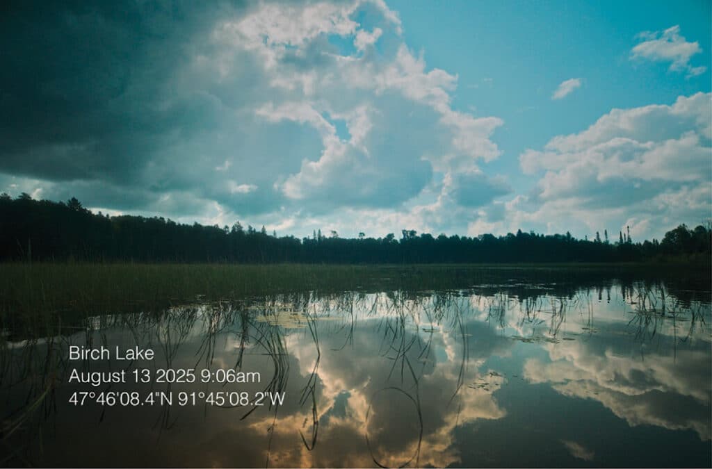
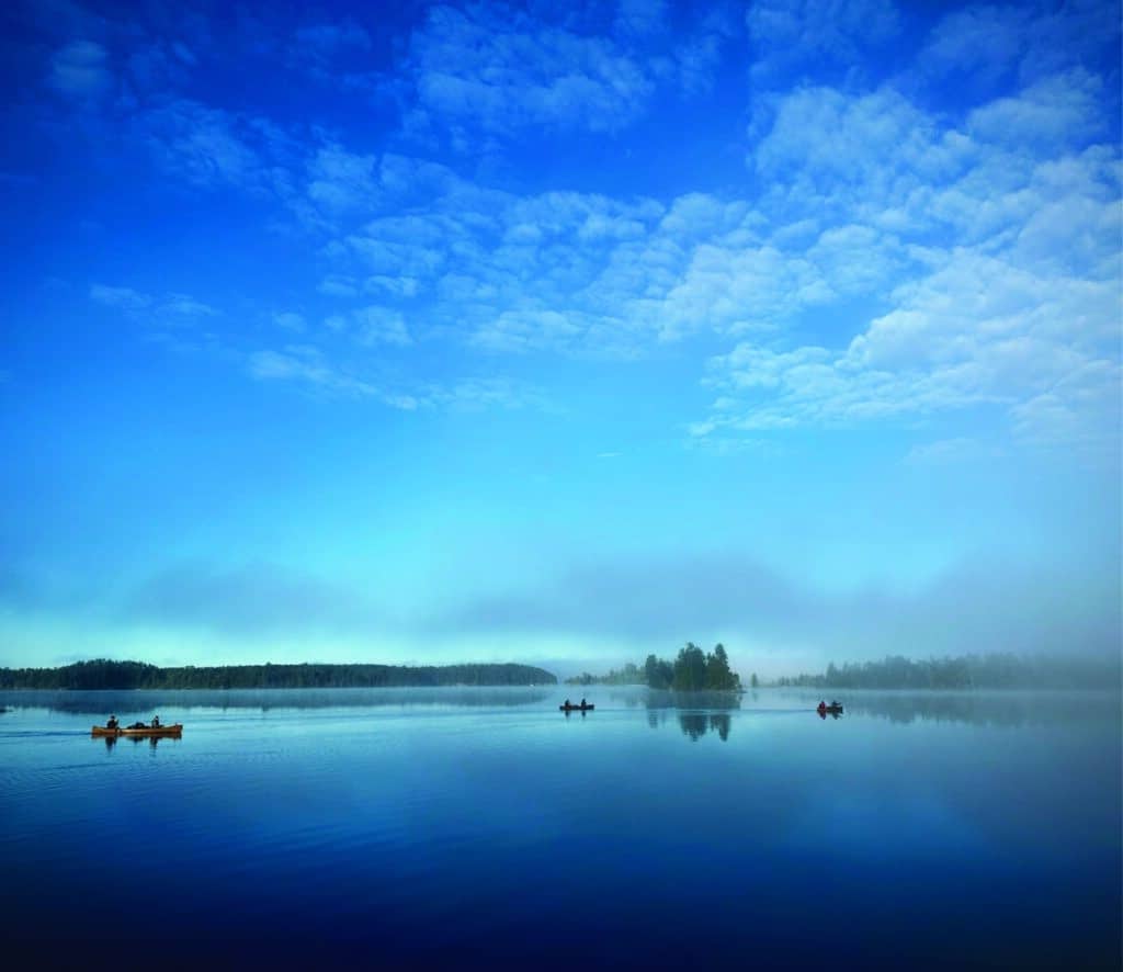
The Minnesota DNR has approved a plan by Franconia Minerals, a Twin Metals Minnesota subsidiary, to drill for metallic minerals near Birch Lake, about nine miles south of Ely. The approval allows 19 exploratory drill sites along the shoreline and beneath the lake, which drains into the BWCA—prompting concerns about pollution risks to the protected watershed.
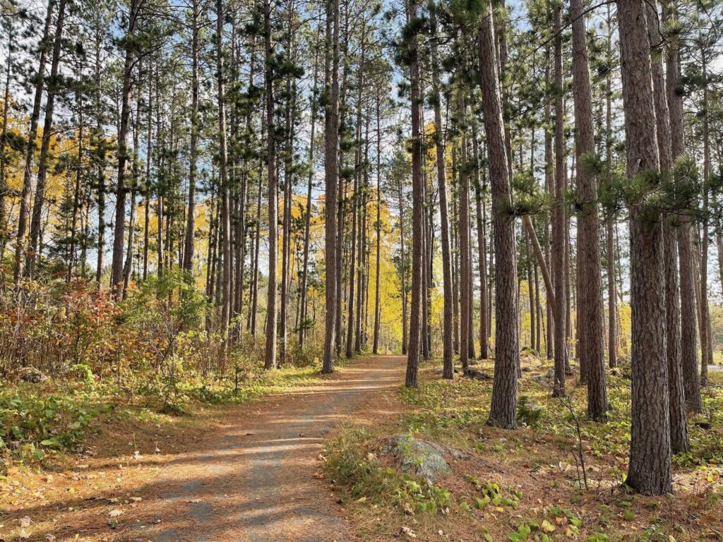
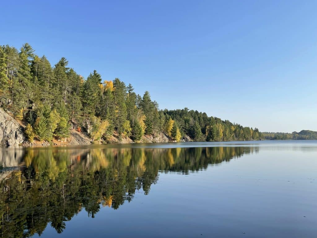
Tucked into a red pine plantation south of Ely, the Birch Lake Plantation Trail offers an easy, scenic hike in warmer months and groomed cross-country skiing in winter. Rolling terrain, towering pines, and a quiet aspen grove make this trail a surprisingly rewarding stop year-round.
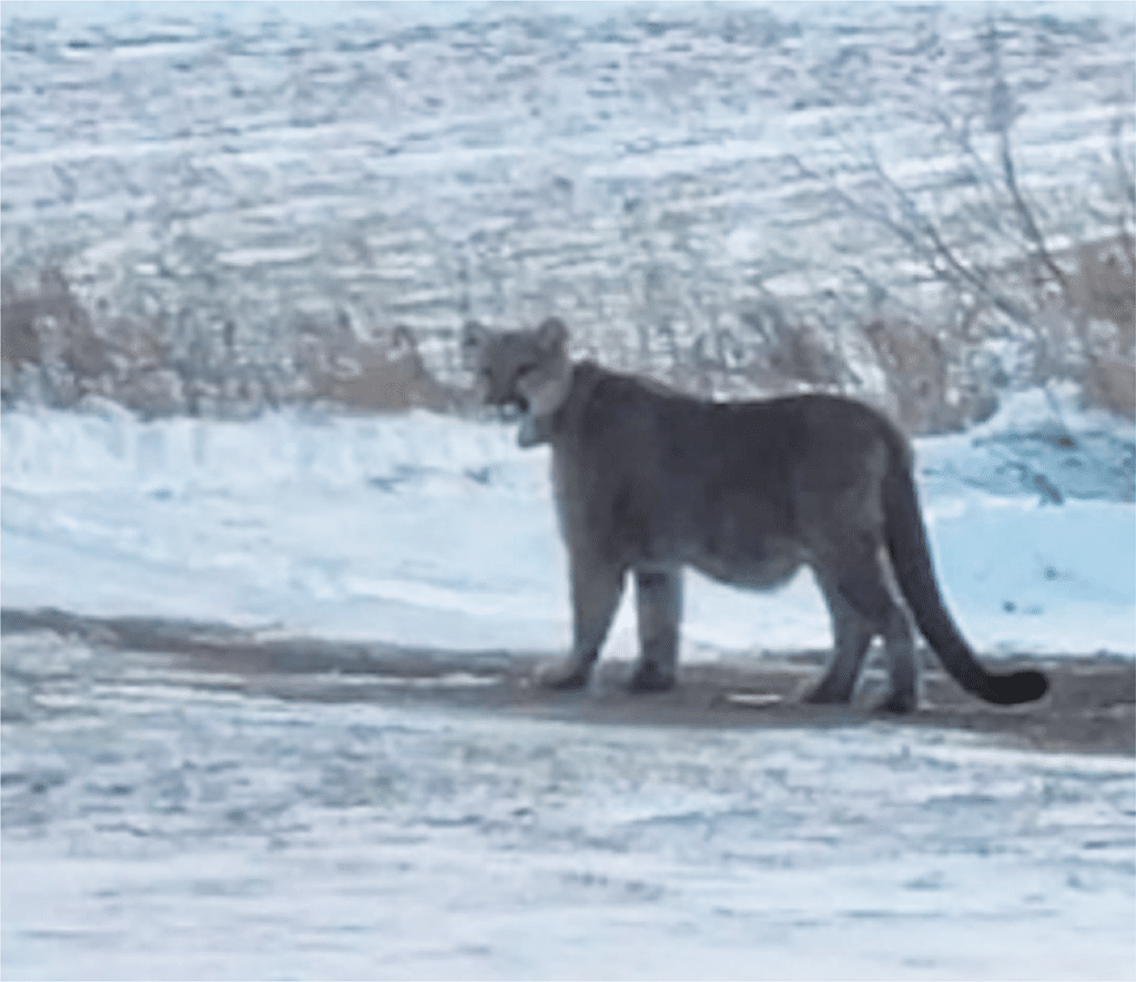
Cougars, sometimes called mountain lions, historically roamed through Minnesota. The state now considers them transient and rare. However, sightings have increased in recent years, especially in the northern parts of the state. This could be due to a rise in technology, such as trail cameras, and greater public awareness, rather than actual population growth.
We’re revisiting our most-viewed posts of 2025! Throughout the year, we shared important updates on ongoing protection and preservation efforts in the Superior National Forest and Boundary Waters Canoe Area Wilderness. Popular stories highlighted conservation initiatives, revealed hidden spots to explore, and provided updates for crossing remote areas along the Minnesota–Canada border.
Canadian authorities have provided an update to the Remote Area Border Crossing Permit program (RABC). They announced the introduction of a telephone reporting system in areas previously covered by the RABC program. The new system will begin September 14, 2026. Until then, those who currently have a valid RABC permit can use it until September 13, 2026.
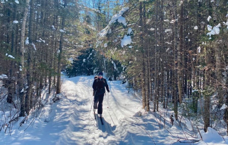
Once a network of logging roads, the Banadad Ski Trail has become a beloved winter route through the BWCAW. Groomed since the early 1980s and maintained by volunteers, the 27-kilometer trail connects skiers to both the region’s past and its quiet, snow-covered present.
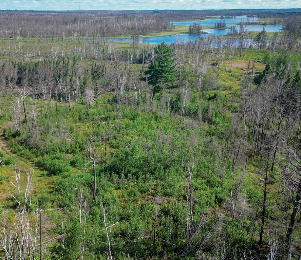
Minnesota DNR recently made history by acquiring one of its largest land holdings. The purchase protects thousands of acres of forested land across multiple counties, in partnership with The Conservation Fund, Northern Waters Land Trust, and ten counties.
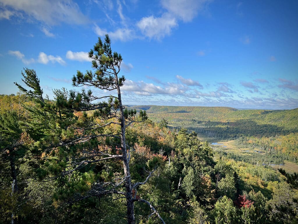
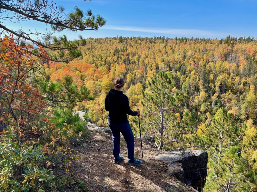
If giant ridges flanked with red and white pines towering over crystal-clear, undeveloped lakes sound like your happy place, make sure to visit the Bass Lake Trail. The elevation changes and rocky footing makes this rewarding for experienced hikers, while the varying route options make it accessible for families and those with less experience. Hike, snowshoe or paddle, for a true choose-your-own-adventure.
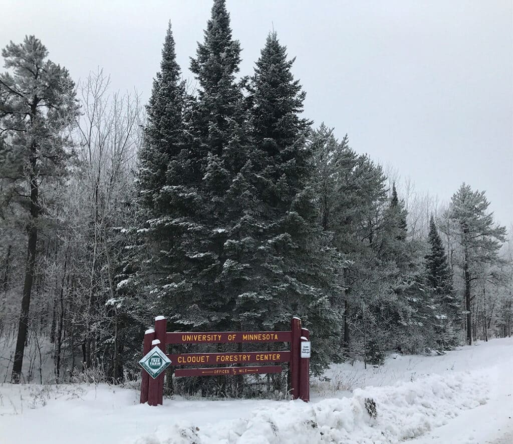
The University of Minnesota recently reached an agreement in principle to return the Cloquet Forestry Center’s land holdings to the Fond du Lac Band of Lake Superior Chippewa in northern Minnesota. The state of Minnesota still owns some of the property, which means the legislature must approve the transfer to complete it. If finalized, Fond du Lac will own all 3,400 acres, but the Forestry Center will continue to provide education and research in collaboration with the Band.
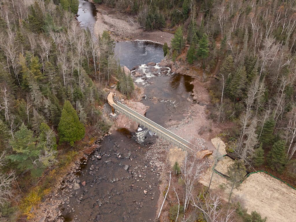
For years, visitors to Tettegouche State Park had to detour around the High Falls. This was due to record storms over the past few years that destroyed the bridge over the Baptism River. After several years of closure, a new, higher, and stronger bridge now carries foot traffic across the river.
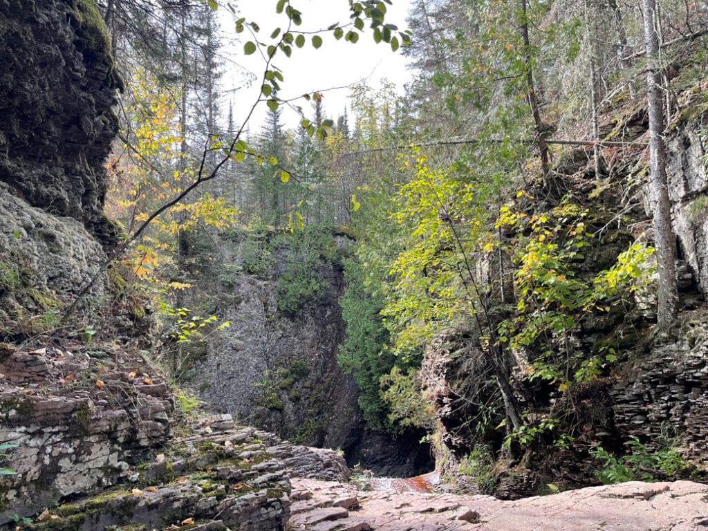
Hiking the Kadunce River canyon is a magical experience any time of year, and that’s a big part of what makes it a Minnesota North Shore bucket list hike. From enchanted forests to tumbling waterfalls and all the life that thrives on land, water, and in between.
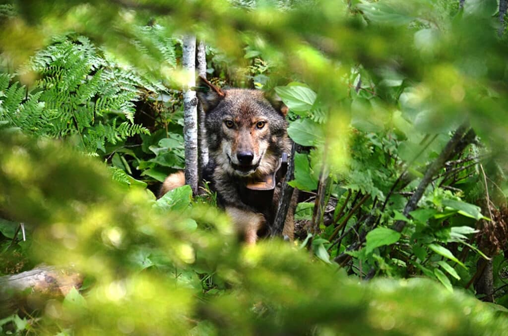
A new Isle Royale study reveals that wolves closely track seasonal habitat shifts made by beavers—an insight that could reshape how we plan ecological restoration. Researchers from Michigan State University found that this predator–prey relationship may influence the island’s wider ecosystem, especially following the 2018 reintroduction of wolves.
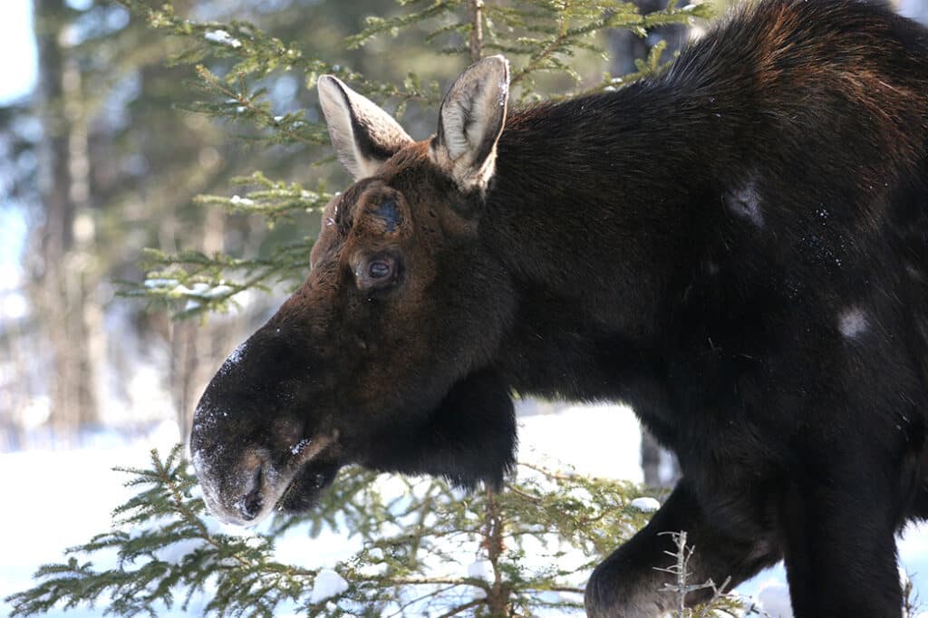
Moose have long inhabited Isle Royale, the largest island in Lake Superior. To better understand their life cycle and population, a group of researchers and volunteers will make observations and study their bones next summer. Moose are the island’s largest mammal, and their presence is an indicator of a healthy ecosystem.
Cinematographer Alex Horner captures the wild beauty of watersheds near the proposed Twin Metals mine, just south of the Boundary Waters. His short films document what could be lost if copper-nickel mining reshapes one of Minnesota’s most pristine regions.
Hike to scenic vistas with fabulous foraging. Known as the Cove Point Loop, this six-mile lollipop loop section was built in 1996. While the trail begins across Highway 61 from the lodge, there’s no public parking on-site. Cove Point Lodge guests can walk across Highway 61 to access the trail. If you’re not staying at the lodge, consider these two alternative routes…
A new bill could permanently alter how the Boundary Waters’ border with Canada is patrolled. Republican Senator Mike Lee of Utah recently introduced the Border Lands Conservation Act, which would allow the federal government to expand border patrol operations using tactical infrastructure and surveillance systems.
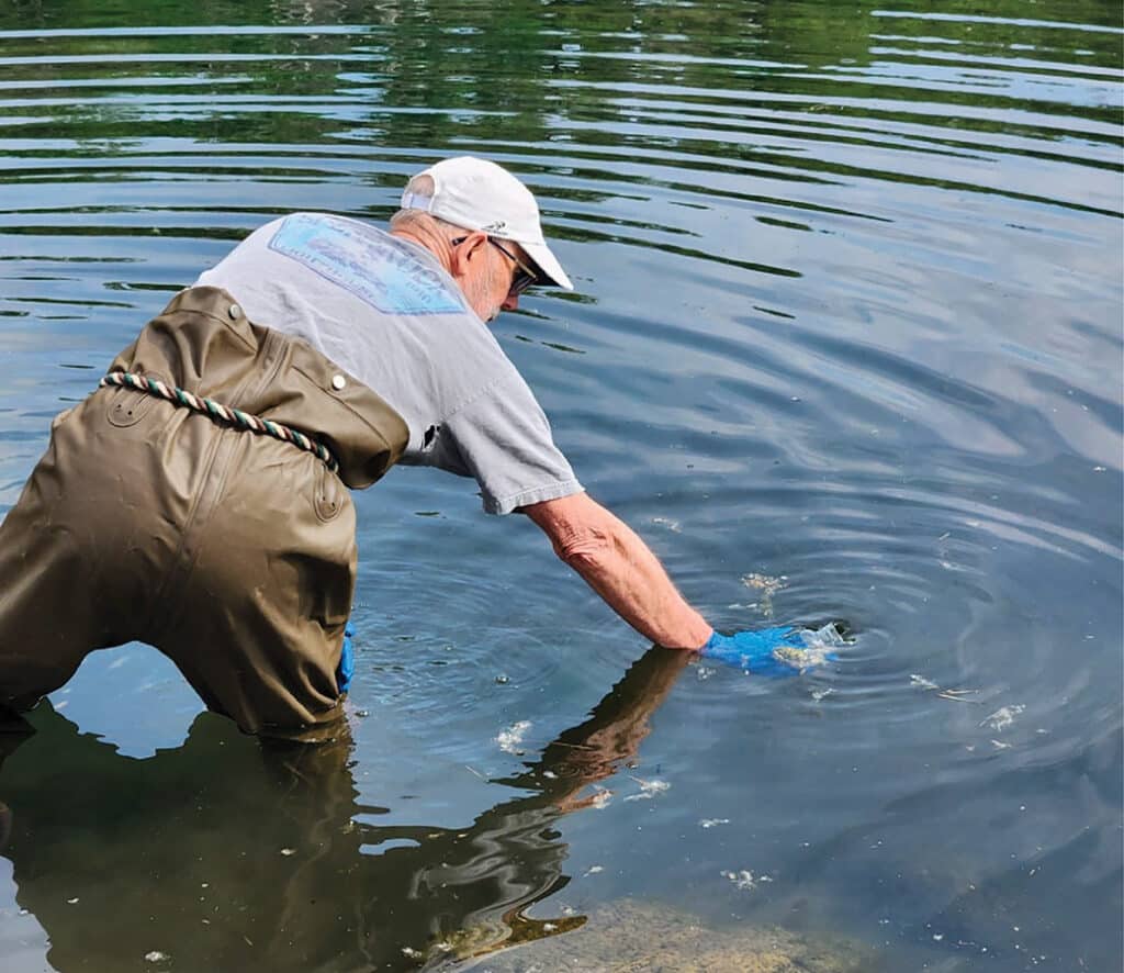
Plastics continue to impact Minnesota lakes, including those in the Superior National Forest. Environment Minnesota recently surveyed lakes and found microplastics stemming from four different sources in all the locations they sampled. To combat the issue, the organization has developed a blueprint for state, federal, and community leaders.
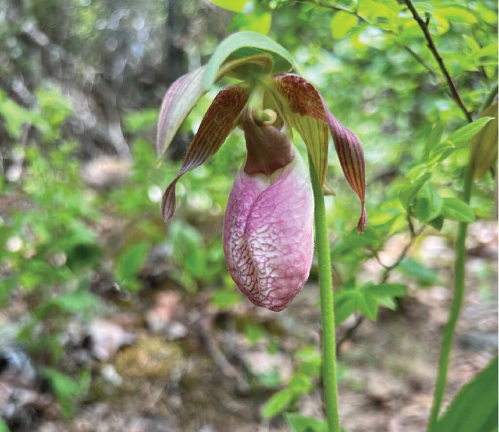
Throughout the Superior National Forest, small microhabitats harbor rare plants that usually grow in other climates. Many thrive in the narrow margins created by the cool, moist climate of Lake Superior and the surrounding boreal landscape. We highlight ten hidden gems that face threat from human activities and environmental changes.
In an important move, The Nature Conservancy has purchased more than 12,000 acres of dense forest and wetland north of Two Harbors, marking its largest land acquisition in over 25 years. Conservation efforts will focus on sustainable management that supports the health of forests, wildlife, and clean water.
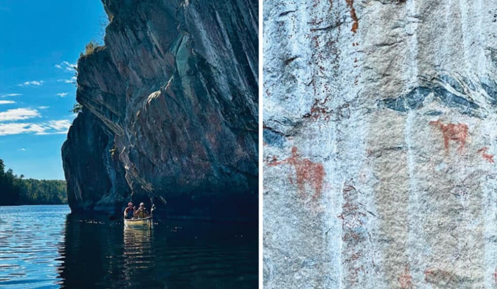
Just north of Lower Basswood Falls in the BWCA, a striking set of pictographs appears on a granite wall, one of at least forty sites scattered across the wilderness. These culturally significant images connect deeply to the history of the Anishinaabe people, who regard this land as sacred.